
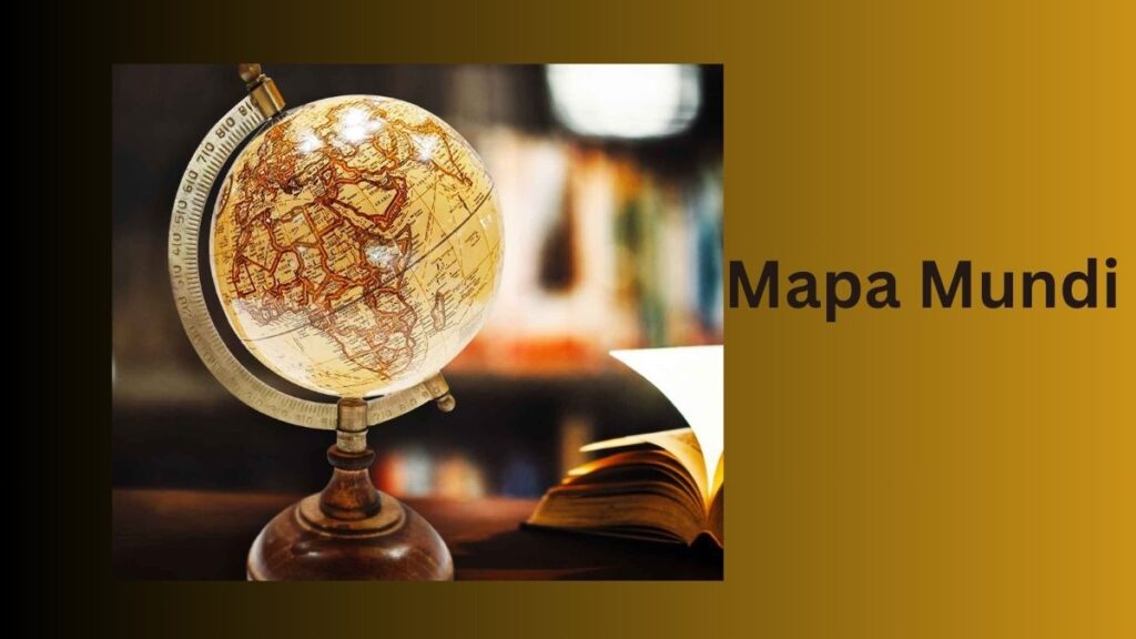
Mapa Mundia according to Oxford Learner’s Dictionaries: map of the world painted in the late 13th century and kept in Hereford Cathedral, England. It has a circular shape, with Jerusalem at the centre and the known continents of Europe, Africa and Asia placed around it.
Mapa Mundi, which literally means “map of the world” in Latin, is an intriguing historical window because it reveals how many cultures have interpreted the world at various points in time. In this piece, we’ll go into the history and legacy of Mapa Mundi, discussing its impact on contemporary cartography, art, and culture.
Contents
- The Historical Significance
- Different Types
- Mappa Mundi and Medieval Cartography
- Evolution of Mappa Mundi
- Mappa Mundi in Modern Times
- The Beauty of Mappa Mundi
- Collecting and Preserving Mappa Mundi
- Mappa Mundi: A Window into History
- The Role in Education
- Conclusion: The Enduring Legacy
- some additional resources:
The Historical Significance
The origins of Mappa Mundi maps date back to the eighth century. These ancient maps showed what people believed the world looked like during that time. They were used for various purposes, such as teaching and religious instruction.
Mappa Mundi maps were important educational tools in medieval times. They helped people understand geography, history, and religion. These maps often included illustrations of significant religious events and figures.
In addition to their educational role, Mappa Mundi maps were also valuable for their artistic qualities. They were often beautifully crafted and richly detailed, making them both functional and decorative.
Different Types
Mappa Mundi maps come in many styles and formats. Some are ornamental, showcasing intricate designs and decorations. Others are practical, providing information about geography and important locations.
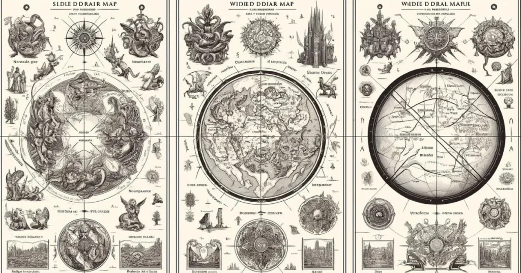
Ornamental Maps
Ornamental maps often feature elaborate illustrations and decorations. These maps were designed to be visually appealing rather than geographically accurate. They included intricate drawings of mythical creatures, religious symbols, and significant events. Wealthy individuals used these maps as decorative pieces in their homes, and they were often displayed to showcase artistic skill and craftsmanship.
Practical Maps
Practical Mappa Mundi maps aimed to convey geographical knowledge. They included details about different regions, cities, rivers, and mountains. These maps were used as educational tools to teach about the known world. Monasteries and educational institutions often used practical maps to educate students about geography and history. They were more focused on accuracy and utility, helping people understand the world’s layout and important locations.
Hybrid Maps
Some Mappa Mundi maps combined both ornamental and practical elements. These hybrid maps were both beautiful and informative. They included artistic illustrations alongside accurate geographical details. These maps were used to educate viewers while also impressing them with their visual appeal. Hybrid maps were often displayed in public spaces, such as cathedrals and town halls, to educate and awe the general public.
Mappa Mundi and Medieval Cartography
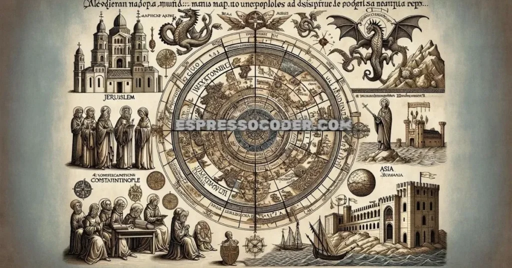
Medieval Mappa Mundi maps offer a unique glimpse into the worldview of people during the Middle Ages. These maps often centered on religious and cultural significance rather than geographical accuracy. Jerusalem was frequently placed at the center of the map, reflecting its importance in Christian theology.
Symbols and Features
Medieval maps were rich with symbols and illustrations. They included depictions of biblical events, saints, and mythical creatures. These elements provided a visual narrative of the world according to medieval beliefs. For instance, dragons and sea monsters were commonly drawn in unexplored regions, symbolizing the unknown and the dangers of the world.
Geographic Representation
The known continents of Europe, Asia, and Africa were usually represented, with Europe often depicted in more detail. Important cities and landmarks, such as Rome and Constantinople, were prominently featured. Rivers and mountains were drawn to mark significant geographical features, but the overall scale and accuracy were not precise by modern standards.
Educational and Religious Role
These maps were used in religious institutions to teach about the world from a Christian perspective. They served as educational tools, helping people understand the connection between geography and biblical events. The maps reinforced the medieval Christian worldview, integrating history, theology, and geography into a unified narrative.
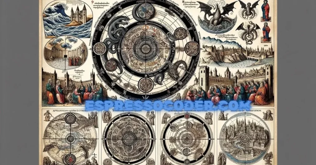
Religious Representation
Early Mappa Mundi maps often included religious symbolism. These maps depicted biblical events, saints, and other religious figures, integrating faith into their geographical presentations.
Biblical Depictions
Maps frequently illustrated significant biblical scenes, such as the Garden of Eden, the Exodus, and the Crucifixion. These depictions served to remind viewers of important religious narratives and their locations in the world.
Saints and Religious Figures
Saints and other holy figures were commonly included in these maps. They were shown in places where they lived, performed miracles, or were martyred. This highlighted the spiritual significance of various locations.
Theological Interpretations
The maps reflected the medieval Christian understanding of the world. Jerusalem, as the center of the Christian faith, was placed at the center of the maps. This central placement emphasized the city’s theological importance and the belief in its role as the heart of the world.
Evolution of Mappa Mundi
Over time, Mappa Mundi maps became more detailed and accurate. As explorers discovered new lands and cartographic techniques improved, the maps evolved to incorporate these advancements.
Early Developments
Initially, maps were simple and symbolic. They focused more on conveying religious and cultural information than geographical accuracy. However, as travel and exploration increased, maps began to include more precise details.
Influence of Exploration
The Age of Exploration brought significant changes to Mappa Mundi maps. New continents and territories were added as explorers like Christopher Columbus and Vasco da Gama expanded the known world. This period marked a shift from purely religious maps to ones that also reflected contemporary geographic knowledge.
Advancements in Cartography
With the Renaissance came advancements in science and cartography. Techniques like triangulation and improved tools allowed for more accurate mapmaking. Mappa Mundi maps became more sophisticated, blending artistic elements with precise geographical data.
Mappa Mundi in Modern Times
While no longer used for precise geographical purposes, Mappa Mundi maps still hold significant cultural and historical value. They continue to influence modern art, education, and cartography.
Cultural Significance
These maps are treasured as historical artifacts. They provide insight into medieval beliefs, artistic styles, and the history of cartography. Museums and collectors highly value them for their beauty and historical importance.
Educational Role
Mappa Mundi maps are still used in education to teach students about medieval history and cartography. They help illustrate how people in the past viewed the world and the role of religion in their lives. These maps are valuable tools for understanding historical perspectives on geography and culture.
Influence on Modern Cartography
Contemporary mapping techniques have been influenced by the artistic and symbolic elements of Mappa Mundi maps. While modern maps prioritize accuracy, they also incorporate design elements that make them visually appealing. The legacy of Mappa Mundi maps can be seen in the balance between functionality and aesthetics in today’s cartography.
The Beauty of Mappa Mundi
Mappa Mundi maps are not only historical documents but also works of art. Their intricate designs, detailed illustrations, and rich symbolism make them visually captivating.
Artistic Elements
The artistic elements of these maps include elaborate borders, decorative illustrations, and vibrant colors. Artists took great care in creating these maps, making them beautiful as well as informative.
Symbolism
The maps are rich with symbolic meaning. Every detail, from the placement of cities to the depiction of animals and mythical creatures, had a purpose. This symbolism added layers of meaning to the maps, making them more than just geographical representations.
Appreciation Today
Today, Mappa Mundi maps are appreciated for their artistic and historical value. They are displayed in museums and studied by historians and art enthusiasts alike. Their beauty and complexity continue to fascinate and inspire people.
Collecting and Preserving Mappa Mundi
Over the centuries, Mappa Mundi maps have become valuable cultural artifacts. Collecting and preserving these maps involves significant effort and expertise.
Historical Value
These maps are precious for their historical insights and artistic craftsmanship. Collectors and institutions seek them for their rarity and the stories they tell about the past.
Preservation Challenges
Preserving Mappa Mundi maps requires specialized techniques. The materials used to create these maps, such as parchment and ink, can deteriorate over time. Conservation efforts focus on protecting these fragile documents from damage caused by light, humidity, and handling.
Modern Collections
Many museums and private collectors hold Mappa Mundi maps in their collections. These institutions work to ensure the maps are preserved for future generations. They also make these maps accessible to the public through exhibitions and digital archives.
Mappa Mundi: A Window into History
Mappa Mundi maps offer a fascinating glimpse into various historical periods. They reveal how people in the past viewed the world and their place in it.
Understanding the Past
By studying these maps, we gain insights into the medieval mindset. They show us how people combined geography, religion, and culture to create their understanding of the world.
Educational Tool
Mappa Mundi maps continue to be valuable educational tools. They help students learn about history, geography, and art. These maps provide a tangible connection to the past, making historical studies more engaging and meaningful.
Legacy
The legacy of Mappa Mundi maps endures in their influence on modern cartography and art. They remind us of the rich history of mapmaking and the enduring human quest to understand and represent the world.
The Role in Education
Mappa Mundi maps are still used in education today. They help teach students about the history of cartography and medieval worldviews.
Teaching History
These maps are valuable resources for teaching medieval history. They illustrate how people in the past understood their world and the role of religion in shaping their perceptions.
Geography Lessons
Mappa Mundi maps provide a historical perspective on geography. They help students understand how geographical knowledge has evolved over time. Comparing these maps with modern ones highlights the progress in cartographic techniques.
Engaging Students
The artistic and symbolic elements of Mappa Mundi maps make them engaging educational tools. They capture students’ interest and encourage them to explore historical and geographical concepts in depth.
Conclusion: The Enduring Legacy
In conclusion, Mappa Mundi maps are more than just historical artifacts. They are fascinating and educational subjects that continue to influence various fields.
Historical Impact
These maps provide valuable insights into medieval beliefs, art, and cartography. They show us how the human perspective on the world has changed over time.
Modern Relevance
While not used for precise navigation, Mappa Mundi maps still hold cultural and educational value. They inspire modern cartography and art with their beauty and complexity.
Continuous Learning
By studying Mappa Mundi maps, we can better understand our history and how our view of the world evolves. They remind us of the importance of combining knowledge, art, and culture in our quest to understand the world.
some additional resources:
Hereford Mappa Mundi – Hereford Cathedral
- Hereford Cathedral Mappa Mundi – Official page with detailed information about the Hereford Mappa Mundi, its history, and significance.
British Library – Medieval Maps
- British Library Medieval Maps – An overview of medieval maps, including the Mappa Mundi, with insights into their creation and use.
The History of Cartography Project – University of Chicago
- The History of Cartography Project – A comprehensive resource on the history of cartography, including medieval maps.
National Geographic – The Medieval Map and the Joy of Cartography
- National Geographic – An article exploring the art and science of medieval cartography with examples like the Mappa Mundi.
Encyclopedia Britannica – Hereford Mappa Mundi
- Encyclopedia Britannica – An entry providing detailed information about the Hereford Mappa Mundi.
FAQs (Frequently Asked Questions)
- What is the oldest Mapa Mundi map known to exist?
The “Hereford Mappa Mundi,” which dates back to the 13th century, is the earliest known example of a Mappa Mundi.
- How were these maps used in the Middle Ages?
The maps of the Mapa Mundi were utilized in both academic and spiritual contexts. They illustrated God’s plan for the universe and humanity’s purpose in it.
- Are there any famous contemporary artists inspired by it?
It’s true that modern painters like David Moreno get ideas from these maps.
- How can I see a real Mundi map in person?
This series of maps can be found in the collections of many museums and libraries worldwide. For instance, Hereford Cathedral is home to the Mappa Mundi of Hereford.
- Are these maps still in relevant today in the age of GPS and digital maps?
Despite its lack of practical application, the Mapa Mundi still contributes significantly to our knowledge of the past and the development of the world thanks to its artistic, cultural, and historical significance.